Goal and Background:
The
goal of this exercise was to show my ability to properly choose and apply geoprocessing tools to determine the suitable habitat for bears in the study area of Marquette County, Michigan as well as my ability to use geoprocessing tools through basic scripting in python.
Methods:
Part 1: Bear Habitat Suitability Modeling
First I created a feature class from the XY table of the bear data that was in an excel document. Next I added all the necessary data files to ArcMap and used the Intersect tool to create a new feature class that contains the ID number of the bears and the land cover type from the feature classes that contain the bear locations and the land cover. I then selected the top three habitats with the most bears.
Next I determined what habitat was suitable for the bears by creating a new feature class that contained only the top three bear habitats. I then used the buffer tool (with the dissolve function) to select habitat within 500 meters of a stream. I intersected these two buffered layers and the result was the suitable bear habitat.
I then determined what of the suitable bear habitat was located on Department of Natural Resources (DNR) land. I used the Dissolve tool to remove the different units on the DNR managed land feature class. I then used to intersect tool on the DNR feature class and the suitable bear habitat feature class to create a feature class containing suitable bear habitat on DNR land.
Part 2: Introduction to Python Scripting

Results:
 Figure 1. This map demonstrates the results from section 1 as well as my data flow model for finding the most suitable habitat for bears in the study area.
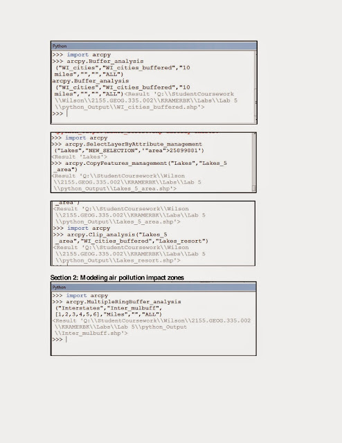
 Figure 2. This map demonstrates the results from section 1 of the python scripting showing the suitable areas for the development of tourist resorts.
 Figure 3. This map demonstrates the results from section 2 of the python scripting showing the air pollution impact zones around the interstates in Wisconsin.
Sources:
Part 1: Michigan Department of Natural Resources (DNR) and Environmental Systems Research Institute (Esri).
Part 2: Price, Maribeth. 2014. Mastering ArcGIS. 6th Edition CD. McGraw Hill. Lake data from Wilson, Cyril 2012, A comprehensive Lake features for Wisconsin, Unpublished data.


Sources:
Part 1: Michigan Department of Natural Resources (DNR) and Environmental Systems Research Institute (Esri).
Part 2: Price, Maribeth. 2014. Mastering ArcGIS. 6th Edition CD. McGraw Hill. Lake data from Wilson, Cyril 2012, A comprehensive Lake features for Wisconsin, Unpublished data.
No comments:
Post a Comment